
more info:
http://www.hkdi.edu.hk/en/global-learning/exchange-programme-details.php?international_id=30
TOTALLY FREE
HK - CARTOPHOTOGRAPHY
FULL VERSION IS NOW AVALIABLE
Update 15.04.2018 (Android)
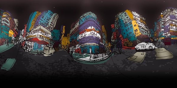
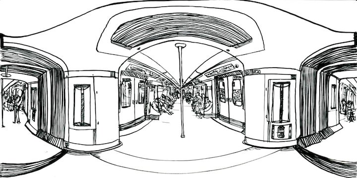
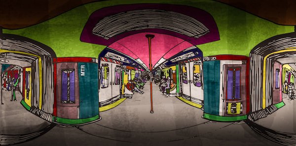
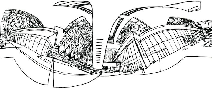
IMMERSIVE SKETCHES
FULL VERSION IS NOW AVALIABLE
Update 15.04.2018 (Android)

Download and install HK -CartoPhotoGraphy App Here (HKCv2.0) to enjoy augmented reality experience.
Descarga e Instala desde aquí la App HK-CartoPhotoGraphy (HKCv2.0) y disfruta de una experiencia de realidad aumentada.
<<<<<<<<
Download and install IMMERSIVE SKETCHES App Here to enjoy virtual reality experience.
Descarga e Instala desde aquí la App Bocetos Inmersivos y disfruta de una experiencia de realidad virtual.
<<<<<<<<
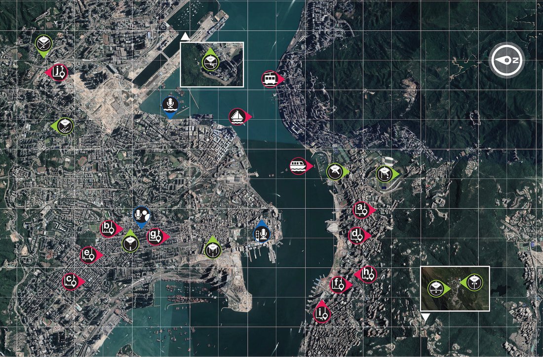
Download Interactive Map (big icons) here // Descarga el Mapa Interactivo (íconos grandes) Aquí
HK -CARTOPHOTOGRAPHY - AUGMENTED REALITY



IMMERSIVE SKETCHES APP - VIRTUAL REALITY
About the project
// Sobre el Proyecto
The experience of inhabiting the city implies an intimate relationship with it space, an affectation of mutual agreement in which neither side remains the same.
Life is lived right there; In the streets, whit the people, in food, in temples, in sounds and its looks. To inhabit the city is a challenge to participate of assimilating its rhythms, knowing its corners to construct an idea of the manners as it is in charge of transforming who they inhabit it.
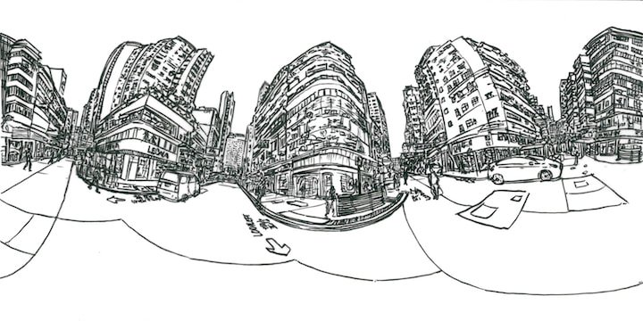
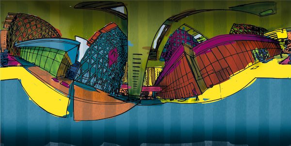
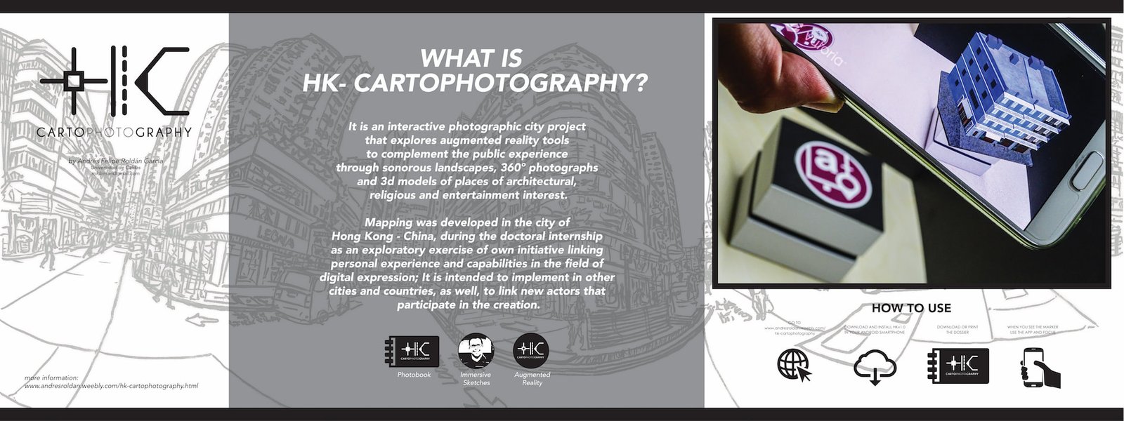
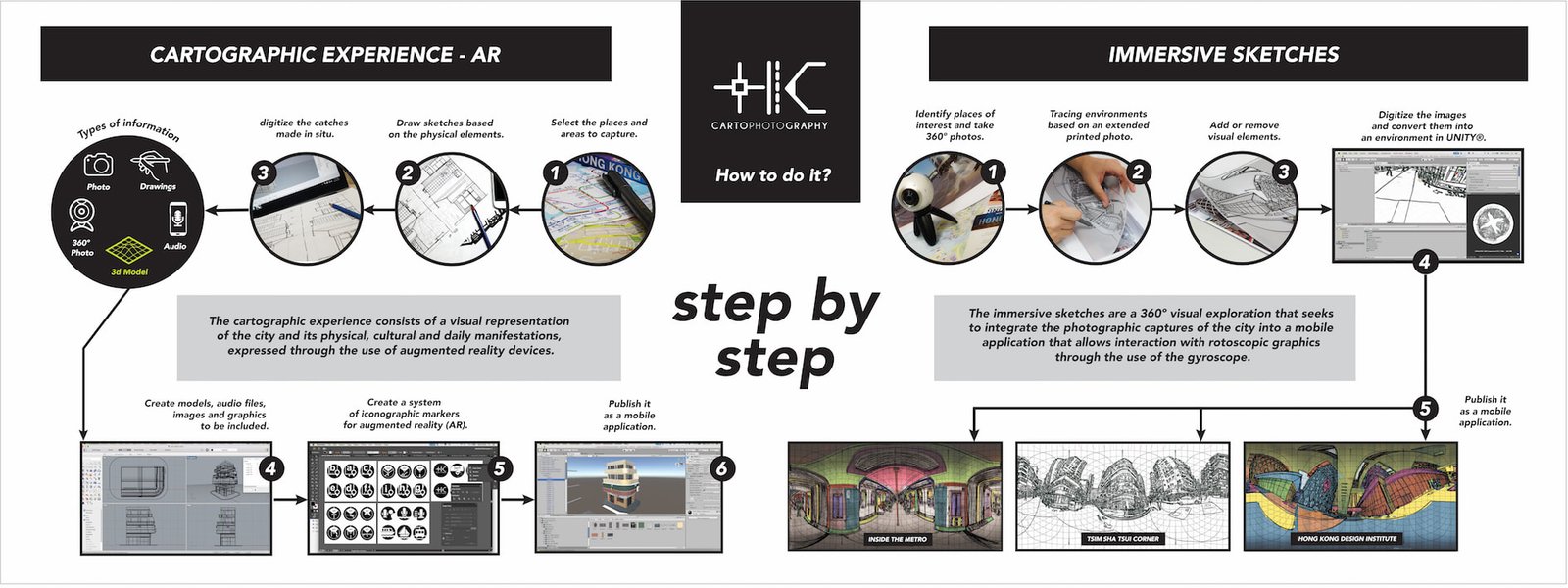
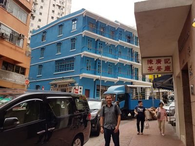
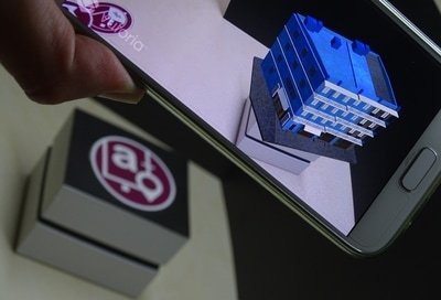
HK - CartoPhotoGraphy is a visual exploration of the city that integrates photographic records, 360º images, sound landscapes and 3D models of architectural heritage through an augmented reality interface. Its main objective is to offer a photographic view of the city facilitated by the construction of an interactive map, in this way, to allow an approximation to the places and sounds that partially constitute the materiality that composes it.
The project takes place in Hong Kong (HK - China) and after several months of work is next to publish.
La experiencia del habitar la ciudad implica una relación íntima con el espacio, una afectación de mutuo acuerdo en la que ninguna de las partes continúa siendo la misma.
La vida se vive allí mismo; en las calles, en la gente incauta, en la comida, en los templos, en los sonidos y en las miradas. Habitar la ciudad es un reto a participar de ella asimilando sus ritmos, conociendo sus rincones para construir una idea de la maneras como se encarga de transformar a quiénes la habitan.
HK - CartoPhotoGraphy es una exploración visual de la ciudad que integra registros fotográficos, imágenes en 360º, paisajes sonoros y modelos 3D de patrimonio arquitectónico mediante una interfaz de realidad aumentada. Tiene como objetivo principal ofrecer una mirada fotográfica de la ciudad facilitada mediante la construcción de un mapa interactivo, de ésta manera, permitir una aproximación a los lugares y sonidos que constituyen parcialmente la materialidad que la compone.
El proyecto tiene lugar en Hong Kong (HK - China) y tras varios meses de trabajo se encuentra próximo a publicar.
Behind the HK -CartoPhotoGraphy APP
Tras la App -HK CartoPhotoGraphy
What makes up the project?
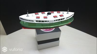
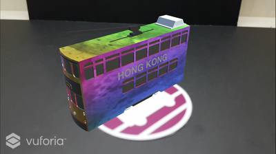
The project is composed of a flat photographic compilation of the city, three-dimensional models of the main architectural buildings and means of transport, sound landscapes on the sites and with the most representative elements of the city and 360º photographs where the author is included. To achieve this, an App (for Android operating system) was built on the website www.andresroldan.weebly.com/hk-cartophotography along with the photographic compilation in PDF format.
How does it work?
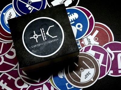
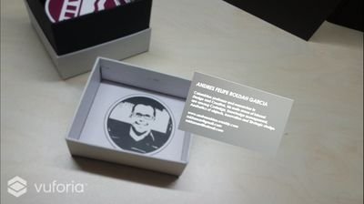
The photo compilation that is free for download (for print) has the markers that are activated during the use of the HKv1.0 App previously installed on a device under Android operating system; The user must superimpose his device before the bookmarks, being able to load the extra multimedia content for a more complete experience.
What were the technological resources used for creation?
The three-dimensional models were built with the free software Unity, there was made the App with the complement of VUFORIA, the 360º photograph was realized with the camera Samsung Gear 360º, the flat photographs were catches of two types: Digital Photography with the camera Sony HX400V and Smartphone Photography with a Samsung S7 phone, with the latter also captured the audio tracks.
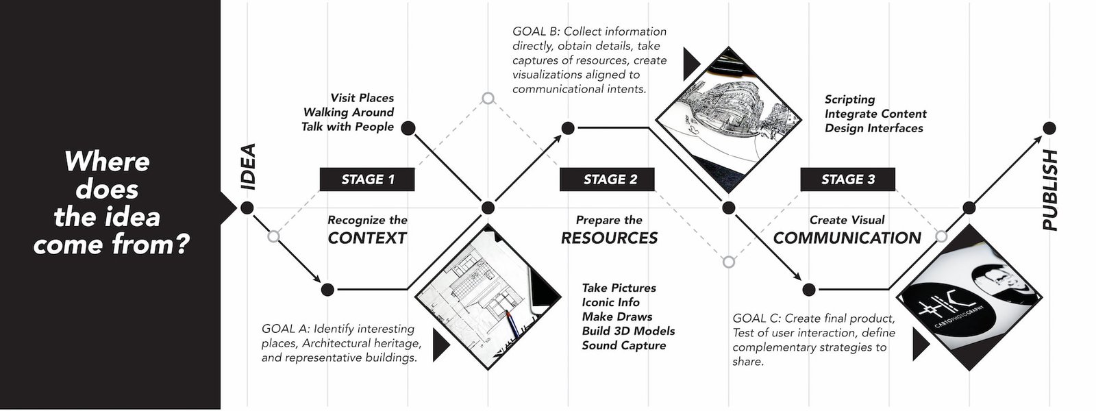
What were the phases of the creation process?
1. Identification of means of transport and sites of interest of the city.
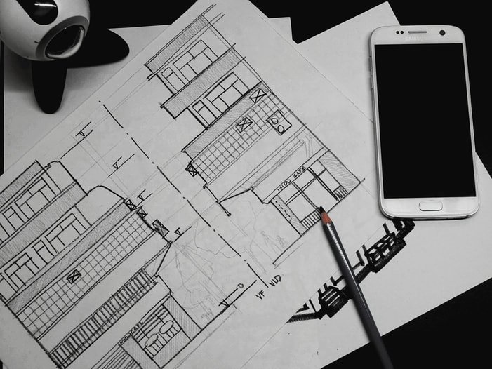
2. Hand charts for the understanding of each construction and means of transportation.
3. Three-dimensional modeling and texture processing.
4. Capture of sonorous resources.
5. Capture of photographic contents.
6. Graphic material and markers of augmented reality.
7. Programming and development of the App.
8. Review, testing, adjustment and disclosure.
9. presentation of the proposal to the event.
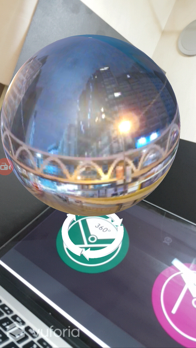
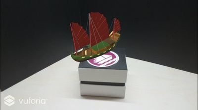
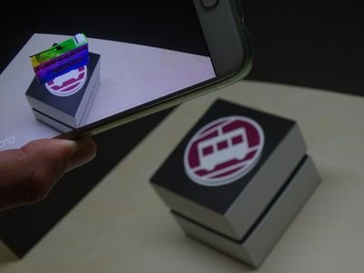
Share images about your experience using HKCv1.0 App on Instagram® with #cartophotography and be part of our gallery.
Comparte imágenes desde tu Instagram® sobre tu experiencia usando HKCv1.0 y sé parte de nuestra galería.